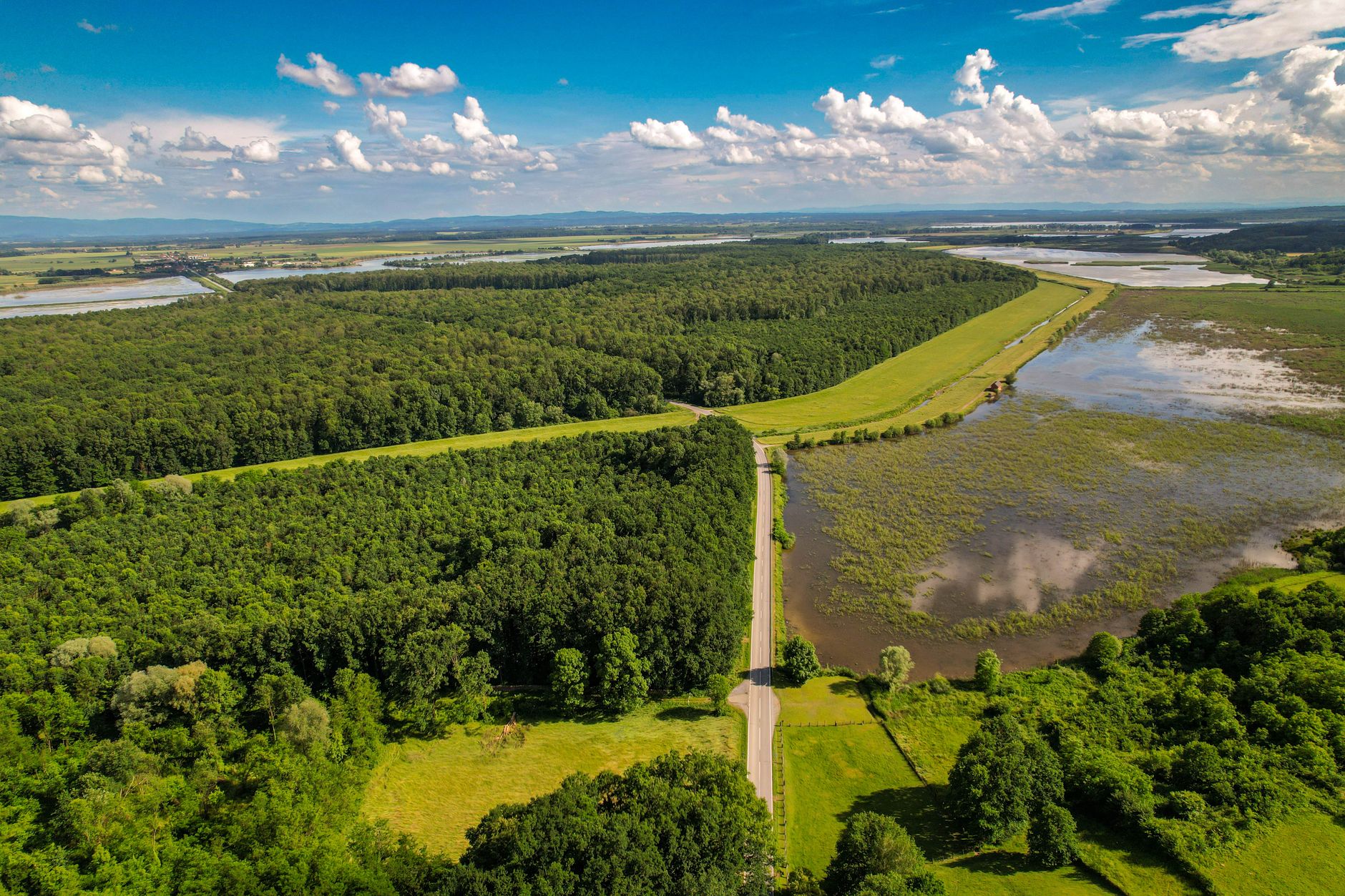
A new drone-based study of a wetland site in Pennsylvania has found that the area retained standing water for just 4.65 hours during the observation period, a finding researchers say underscores how quickly some wetland systems can dry out even after rainfall or seasonal inflows. The measurement, gathered through aerial monitoring rather than traditional ground-based sampling, points to the growing role of unmanned aerial systems in tracking short-lived hydrological events that are easy to miss using conventional survey methods.
Wetlands are typically defined by the presence of water for at least part of the year, and their ability to hold moisture is central to their ecological function, including supporting plant and animal habitats, filtering pollutants, and reducing flood risk downstream. A retention time as brief as under five hours suggests that the site in question may behave more like an ephemeral wet-weather feature than a wetland that sustains water for extended stretches, a distinction that can carry significant weight in environmental assessments and land-use decisions.
Why Drone Technology Matters for Environmental Monitoring
Researchers have increasingly turned to drones to capture data on wetlands and other water bodies because aerial imaging can record changes in water levels and surface extent far more frequently, and with less disturbance to fragile ecosystems, than manual site visits. Traditional wetland assessments often rely on periodic field inspections, which can easily overlook brief pooling events like the one recorded in Pennsylvania. By contrast, drone-based monitoring allows for repeated, low-cost overflights that can detect short-duration flooding and drying cycles as they happen.
This kind of precision matters because the legal and ecological classification of a wetland can hinge on how long water remains present. In the United States, regulatory definitions used by agencies to determine whether a site qualifies for wetland protections often reference duration and frequency of inundation. A finding that water was present for under five hours could influence how such a site is categorized, with implications for conservation planning, permitting for nearby development, and broader wetland inventories used by environmental agencies.
The use of drones for this kind of rapid, high-frequency data collection reflects a broader shift in environmental science toward remote sensing tools that reduce the cost and labor of long-term monitoring. Beyond wetlands, similar aerial survey techniques are being applied to track soil moisture, vegetation health, and flood response in various parts of the world, offering a scalable model for regions facing water management challenges.
A Broader Lesson for Water-Scarce Regions
While the Pennsylvania case is a localized environmental study with no direct link to the Gulf, the underlying technology carries relevance for the UAE and wider GCC region, where water scarcity and the management of limited natural wetlands and groundwater recharge areas remain pressing concerns. The UAE has invested in remote sensing and drone-based environmental monitoring as part of its efforts to manage water resources, track desertification, and support conservation of sensitive ecosystems such as mangroves and sabkha wetlands along its coastlines.
As Gulf governments continue to expand investment in smart environmental monitoring, technologies capable of capturing short-lived hydrological events with precision could offer tools for better tracking of rare rainfall-driven wadi flows or coastal wetland dynamics, areas where accurate, real-time data can support both conservation planning and infrastructure decisions. The Pennsylvania findings, though narrow in scope, illustrate how aerial data collection is reshaping the baseline understanding of how water moves through fragile landscapes, a challenge shared by regions far beyond the northeastern United States.